The Route:
|
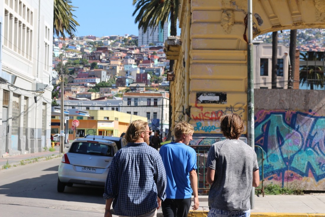
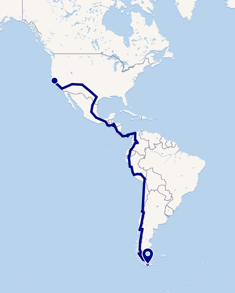
Our journey follows the Pan American Highway which spans nearly 19,000 miles from Prudhoe Bay, Alaska to Ushuaia, Argentina. However, given our time-frame, Project:GoThere will begin in San Francisco, CA, upon completion of our summer jobs at WAnet's Summer English Institute. From California, we will travel across the southwestern US and down the eastern coast of Mexico. We will then navigate Central America through Guatemala, Honduras, Nicaragua, Costa Rica, and Panama.
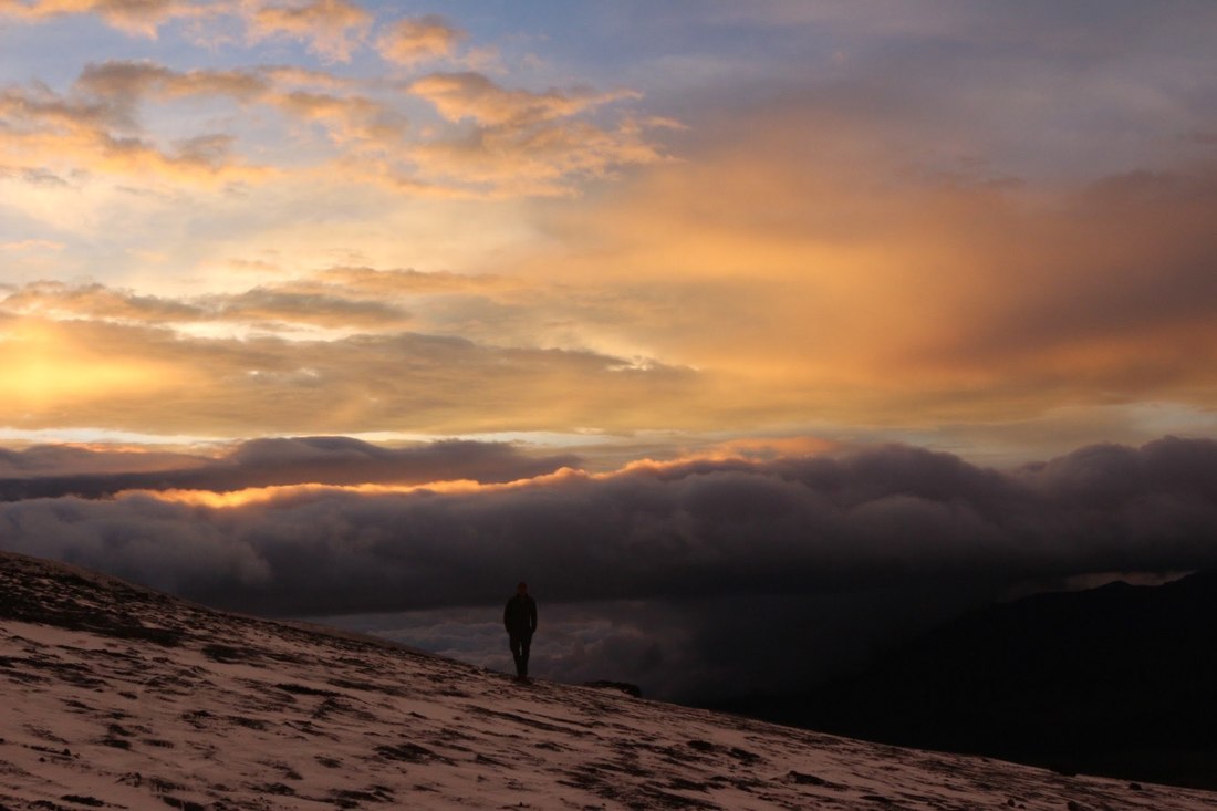
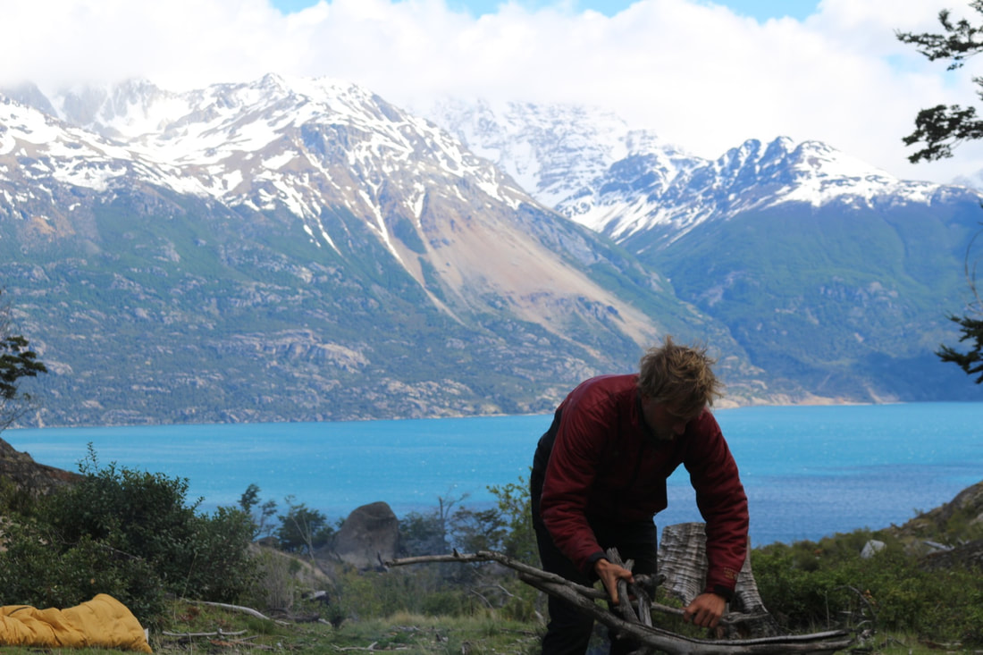
Upon reaching Colón, Panama, we will load our car into a shipping container and meet the boat we put it on in Cartagena, Columbia (The Darian Gap, a 50 kilometer stretch of non-navigable terrain, makes this necessary). From Cartagena we navigate the western coast of South America through Colombia, Ecuador, Peru, Chile, and Argentina. Our final destination at the southern tip of South America is The Patagonia Region. There, we will soak up the pristine beauty, debrief the journey, and prepare for the transition back to our lives in the States. |
Where in the world are we? Check the 'Our Progress' tab!
|
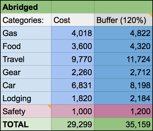
The Budget:
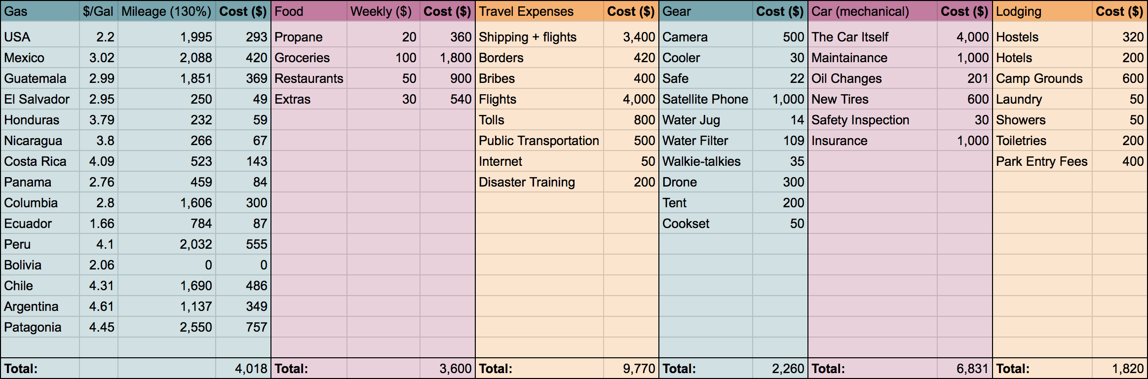
Here is a brief breakdown of the calculated expenses necessary for the completion of the trip. Included are calculated estimations of gasoline costs (broken down by country), recurring food expenses, travel fees, gear for documentation & travel, vehicle maintenance, and bare minimum lodging costs. To calculate these numbers, we broke down recurring expenses by the week and country, and researched one-time costs in budgets from completed trips similar to ours. In the abridged budget below, there is a 1,000 dollar "safety" addition for purely unexpected complications or emergencies, along with a 20% buffer to the entire budget, compensating for undershot estimations.
|